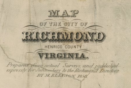
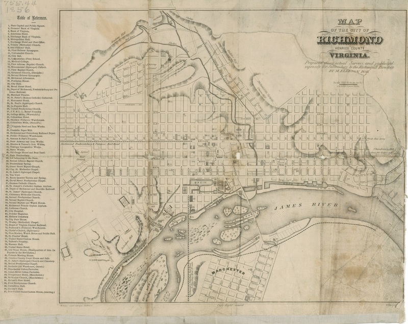
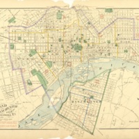
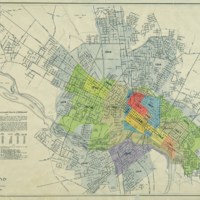
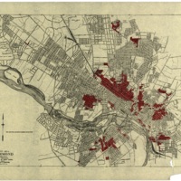
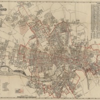
Late 19th and Early 20th cen. Maps
Richmond’s landscape was fundamentally transformed from the 1850s to the early 20th century. The pre-Civil War “walking city” where residents lived close to their work became a sprawling city linked to streetcar suburbs intended for the white middle class and elites, leaving the poor in downtown neighborhoods. Areas that once housed free blacks, enslaved African Americans, and white workers—including many foreign-born people—eventually became rigidly segregated by race through housing discrimination and Jim Crow laws, and immigration slowed dramatically. The Antebellum cities “vertical” class divisions—poorer people living in low lying bottoms while the wealthier lived “high” in places like Gambles Hill and Church Hill—gave way to the segregation by neighborhood that epitomized Jim Crow Era Virginia.
