THIS PAGE HAS BEEN FORMATTED FOR EASY PRINTING


CURRENT EXHIBITION
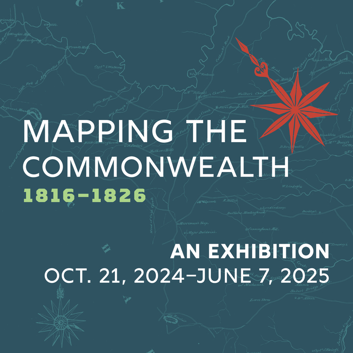
Mapping the Commonwealth, 1816-1826
"Mapping the Commonwealth" presents examples from 40 manuscript maps that highlight the painstaking task of creating Virginia's first official state map. Combining art and science, these surveys attest to the dedication, skill and stamina of surveying teams who worked without the benefit of GPS and today's technology.

Homefront to Frontline: Virginia's WWII Story
"Homefront to Frontline: Virginia's WWII Story," a lobby display, online exhibition and a collection of online resources commemorating the 80th anniversary of World War II, brings to life the experiences of those who served in the military as well as those who supported the war effort at home. The lobby display runs through October 2025, with content rotating in April.