 |
|-


BOARD OF PUBLIC WORKS
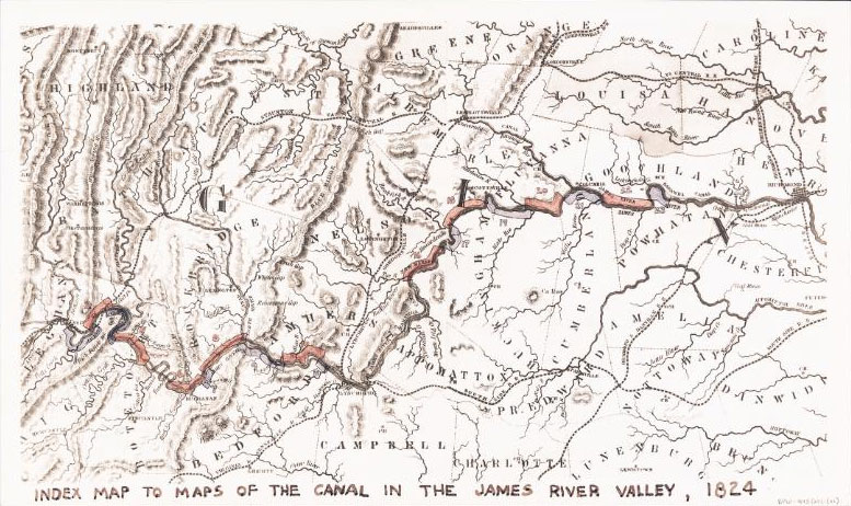
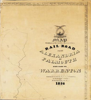

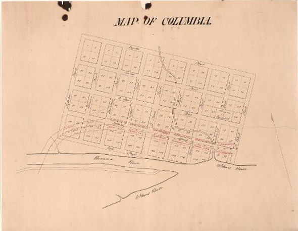
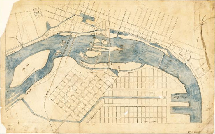
The records of the Board of Public Works are rich in the details of the development of Virginia's internal improvements during the nineteenth century. Few collections in other archival institutions are comparable. Over the years, researchers have used the records for many purposes. Maps, plans, and correspondence relating to canals have aided in the restoration of canal locks and other surviving canal features. Records relating to turnpikes and railroads assisted in resolving right-of-way questions. Field survey notes help identify changes in topography and aid in the location of archaeological sites. Surprising as it may seem, sketches made in the 1830s and 1850s of county boundaries are still consulted today.
This inventory assists researchers in the careful study of the Records of the Board of Public Works. The title inventory contains the title of each series, with information as to date range and quantity. Brief statements of content are added when appropriate. Field notes, maps, plans, and drawings appear in separate sections of the inventory. The index is keyed to entry numbers to provide direct reference to specific entries. Prepared by a professional archival staff, the inventory of these important records reflects the continuing commitment to fulfill the Library of Virginia's responsibility to provide access to records in our care.
Board of Public Works inventory
Search the collection:
Browse the entire collection.